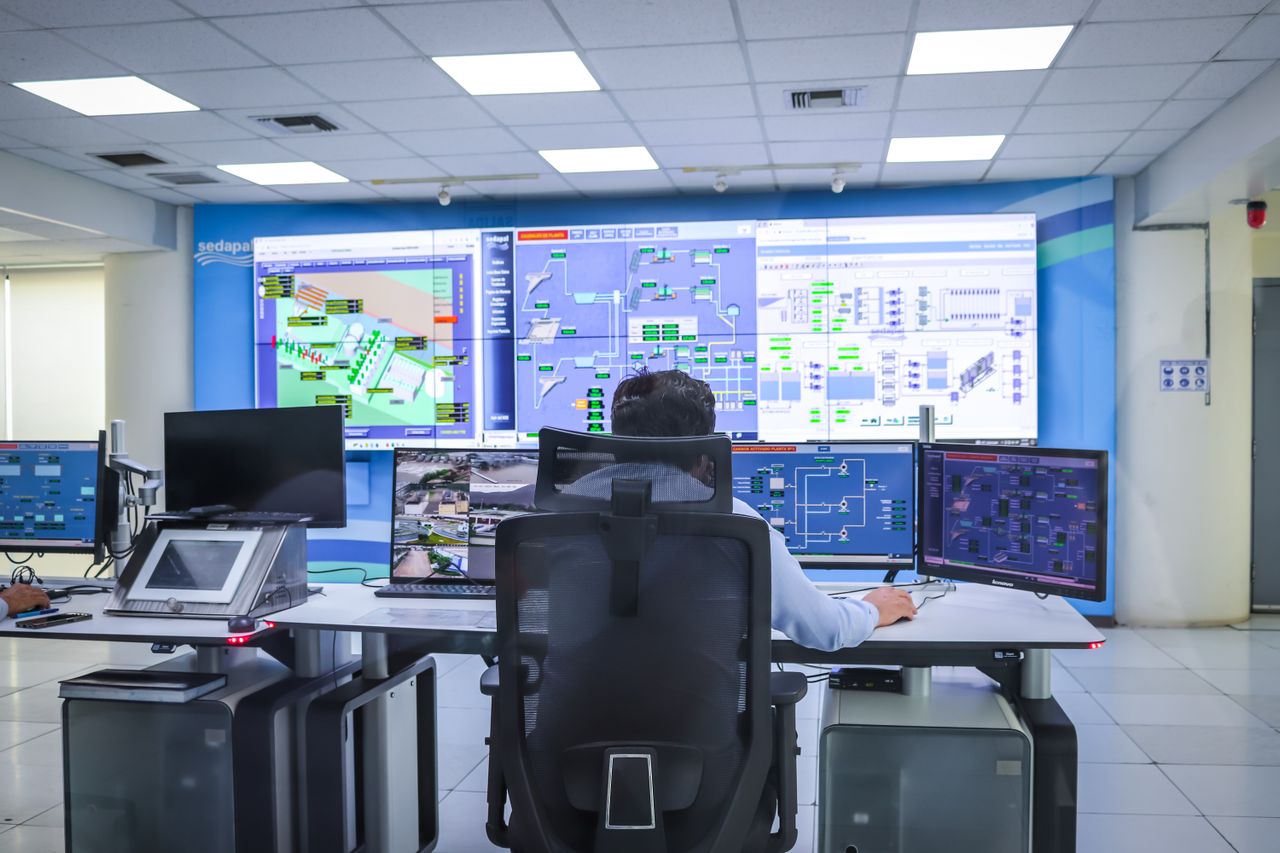
Built on multi-source fusion positioning and high-precision dynamic dispatch algorithms to establish a safe, efficient, three-dimensional integrated airspace management and data-sharing platform.
Millisecond-level high-frequency telemetry updates fuse multi-source low-altitude sensor signals to resolve the absolute physical coordinates of track points in real time.
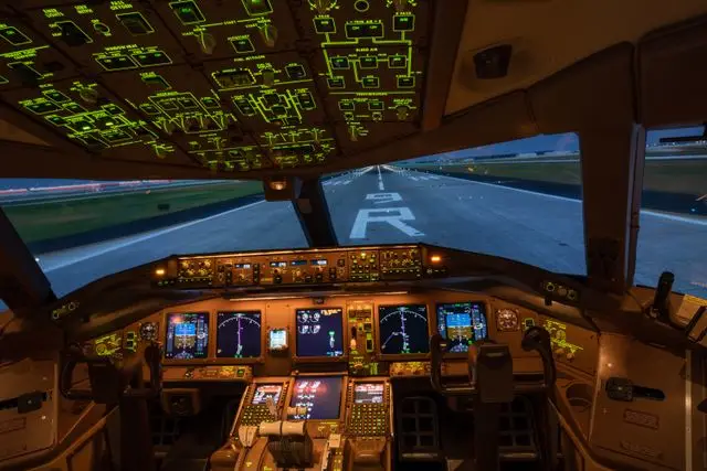
Reconstructing 4D spatio-temporal digital trajectories to continuously trace flight paths with meteorological compensation and integrated operational state forecasting.
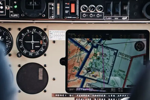
Predictive cross-route interference simulation and dynamic electronic geofence generation to deliver millisecond-scale obstacle and congestion avoidance dispatch solutions.

Leveraging computing clusters for autonomous optimal route allocation, combined with traffic monitoring to automatically coordinate airspace sharing and formation flight across diverse aircraft types.
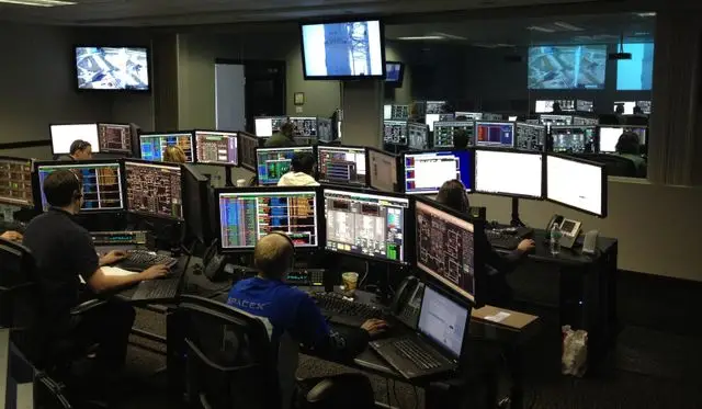
Scientifically defining vertical altitude layers and intelligently designating dedicated air corridors to maximize three-dimensional traffic throughput.
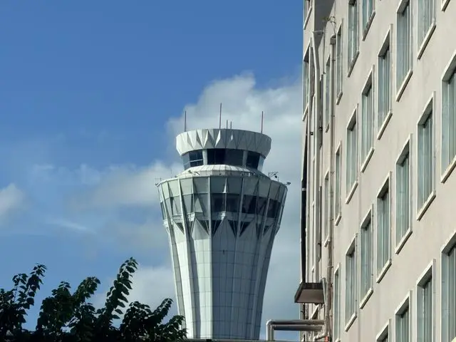
Providing standardized industrial-grade high-concurrency API channels for seamless integration with third-party air traffic management systems and civil airport dispatch terminals.