WHOLEFIELD

Applications

Energy & Infrastructure


An overview of the mission roles aircraft may perform in energy and infrastructure scenarios, along with information coordination and operational boundaries.

Explore Deployment Options

Application Scenarios


Potential Aviation Applications for Wide-Area Infrastructure Missions

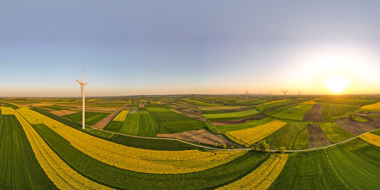
In widely distributed infrastructure scenarios with complex environmental conditions, aircraft can serve as potential platforms for aerial observation and data collection. Specific mission methods, payload configurations, operational conditions, and data workflows are subject to actual scenarios, compliance requirements, and validated capabilities.
Scenario Requirements

Information Acquisition and Mission Coordination in Complex Environments

Wide-Area Distribution

Mission targets may span extensive spatial areas, requiring more flexible observation and operational coordination.

Environmental Conditions

Terrain, meteorological factors, and site conditions may affect mission methods and information acquisition efficiency.

Access Conditions

Manual access to certain areas may be restricted by environmental, safety, or operational constraints.

Information Consistency

Information from diverse sources requires unified compilation and authorized review before supporting subsequent evaluations.

From Mission Definition to Authorized Decisions


01

Mission Definition


Define objectives, scope, constraints, and mission boundaries based on actual scenarios

02

Aerial Observation


Obtain necessary mission observation perspectives or information via aircraft under applicable conditions

03

Information Review


Organize, verify, and perform required analysis on data generated during missions

04

Authorized Decision-Making


Final assessments and subsequent actions are conducted by the client or authorized responsible entities

Organizing Aircraft and Information Workflows Around Mission Objectives


1. Mission Adaptation

Determine suitable mission profiles based on mission objectives, environmental conditions, and operational constraints.

2. Aerial Observation

Provides more flexible aerial observation perspectives for missions in qualified scenarios.

3. Information Gathering

Organizes available information, imagery, or other mission data according to mission requirements.

4. Collaborative Output

Organizes mission information into content structured for review and subsequent decision-making by authorized personnel.

Status

This page illustrates potential application directions and does not indicate that WHOLEFIELD has entered specific facilities, currently provides active infrastructure inspection services, or operates related cloud platforms. Specific capabilities, operating methods, and implementation scope are subject to formal verification and actual project conditions.

Related Directions

Explore Technologies and Collaboration

Learn about technology directions related to aircraft missions, or use the collaboration channel to discuss specific requirements in more detail.