WHOLEFIELD

Applications

Urban & Regional Mobility

Outlines the connecting roles aircraft may play, along with network relationships and operating conditions, in urban and regional transportation scenarios.

Looking Up: Elevating Urban Efficiency

Overcoming the physical bottlenecks of traditional ground transport, WHOLEFIELD leverages an advanced three-dimensional mobility architecture to reshape regional transit potential. By establishing a high-frequency, low-noise, point-to-point low-altitude intelligent transport ecosystem, we enable a generational leap in commuting efficiency, delivering boundless efficiency and possibilities for future cities.

Explore Three-Dimensional Airspace Planning

Scenario Requirements

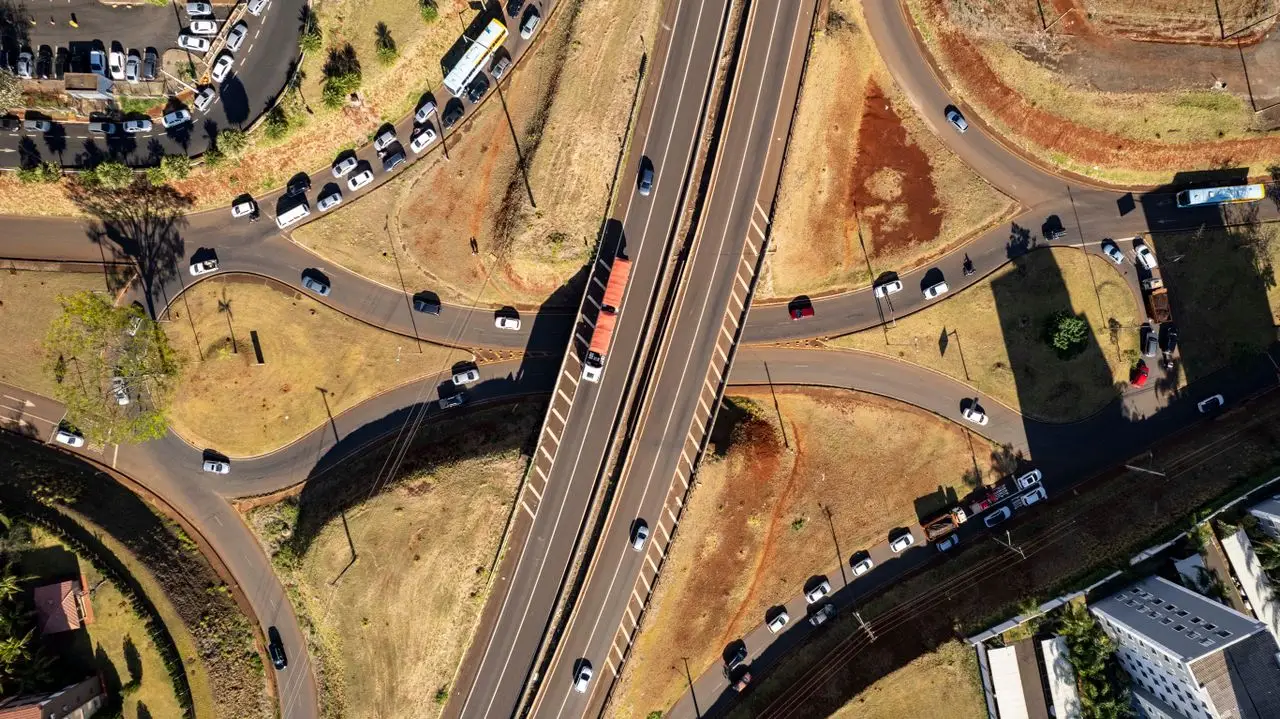
As urbanization accelerates, traditional ground transportation networks face unprecedented congestion bottlenecks. By constructing a multidimensional aerial commuting network, WHOLEFIELD breaks planar constraints to realize efficient connections between key hub nodes. We are committed to establishing high-speed, safe, and environmentally sustainable air corridors between congested cities and transport hubs, reshaping the future mobility ecosystem.

Mission Roles


Leading future low-altitude logistics and high-value air mobility. Deeply tailored to diverse intercity and metropolitan scenarios, our solutions aim to reshape three-dimensional transport through excellent safety redundancy, superior noise control, and seamless efficiency.

Airport Connectivity

Efficiently connecting hub airports with urban CBDs, substantially reducing ground congestion delays, and delivering a seamless, premium end-to-end air-rail intermodal experience.

Urban Business / Public Commuting

Routine, eco-friendly air commuting seamlessly connecting political and commercial hubs with key transit nodes to establish a highly time-efficient, secure dedicated transit network.

Intercity / Regional Connectivity

Overcoming geographical barriers to provide high-speed coverage across metropolitan areas, core urban clusters, and surrounding regional centers, shortening 2 to 3 hours of ground travel to tens of minutes.

● Air Traffic Network Concept

Air Traffic Network Architecture

Advanced airspace collaborative computing model based on 3 layers of physical and logical topology

01 / Airspace Service Layer

Dynamically performing airspace gridding and collaborative computation to ensure real-time, refined flow management and dispatch.

02 / Route Control Layer

Constructing multidimensional high-precision spatiotemporal corridors (four-dimensional trajectories) to provide accurate trajectory conflict resolution.

03 / Physical Hub Layer

Aggregating ground vertiports and airfields, physical route beacons, and underlying sensing and communication infrastructure.


01

Potential Nodes

Calculates and precisely calibrates safe, efficient physical takeoff and landing nodes (Vertiports) based on urban airspace boundaries and population activity density models.

02

Potential Connections

Establishes high-density, dynamic three-dimensional grid transit corridors between two points via multi-objective optimization algorithms, forming a multidirectional star topology network.

03

Collaborative Boundaries

Dynamically calculates and adjusts physical/temporal separation buffers for route airspace, ensuring zero-conflict operation of high-density air traffic within extremely narrow boundaries.

Collaborative Boundaries

Operating Boundaries & Safety Access

Wholefield Aerospace strictly follows the world's most stringent Urban Air Mobility (UAM) standards, building an active safety defense system with multiple redundant backup paths and digital airworthiness boundaries to provide standardized technical validation and compliance support for intelligent connected low-altitude networks.


01. Infrastructure Integration

Supports standardized vertiport integration and an end-to-end intelligent supercharging network, enabling highly redundant precision coordination across multiple physical nodes.

02. Airspace & Regulatory Compliance

Integrates three-dimensional airspace GIS maps with dynamic geofencing, aligning with CAAC air traffic management standards to ensure seamless full-process airspace access.

03. Intelligent Operations & Avoidance

Redefines dynamic obstacle avoidance safety for multi-rotor and compound-wing aircraft based on multi-source sensor fusion perception and active safety decision mechanisms.

04. Data Links & Confidentiality

End-to-end state-cipher-grade encrypted telemetry and telecontrol communications, safeguarding flight control systems, position telemetry, and passenger data with high-assurance privacy.
Related Focus Areas


This route and low-altitude infrastructure deployment plan is strictly limited to the S07 authorized airspace boundaries and safety operating outline. All flight-test evaluations, low-altitude route design, and vertiport planning must operate in a closed loop under the established safety boundary management system, ensuring efficient coordination and safety compliance with the urban air mobility network.

Access & Operational Status

Contact Us

Committed to building a next-generation Urban Air Mobility (UAM) network and an advanced aircraft R&D ecosystem. We invite global aviation industry partners, research institutions, and investors to pursue in-depth strategic cooperation in key technology areas such as complete aircraft engineering, hybrid power systems, and intelligent flight control, jointly advancing the large-scale development of the low-altitude economy.